


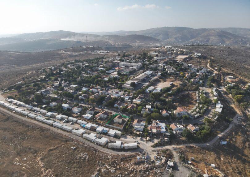

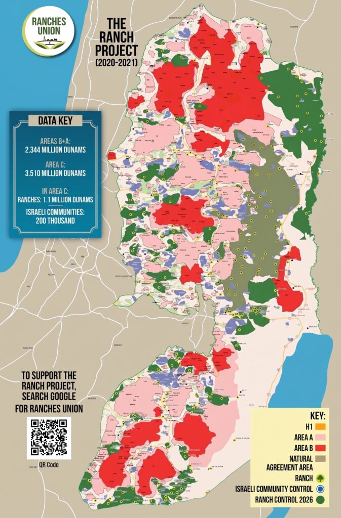
The Ranches Union has released its first map in a decade showing the scope of agricultural holdings across Judea and Samaria, the Jordan Valley, and the Judean Desert. According to the organization’s data, farms now control more than 270,000 acres through grazing and Hebrew agriculture.

 2+
2+By comparison, built-up towns and cities in the region span only about 50,000 acres. That means for every acre held through built communities, agricultural ranches control nearly six additional acres.
The map shows a broad network of Jewish presence, land cultivation, and state land preservation—from the Jordan Valley through the mountain ridge and northern Samaria to southern Hebron Hills and the Judean Desert.
 2+
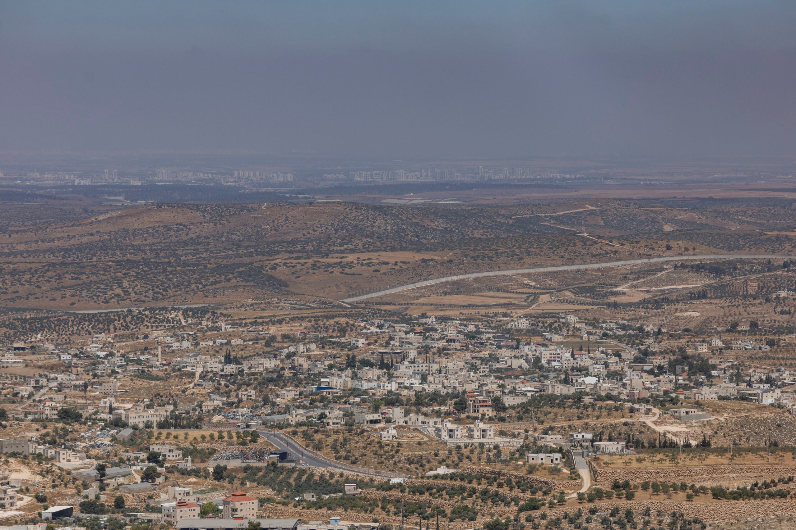
2+The Ranches Union stresses that despite these achievements, the work isn’t finished. According to the organization, more than a million additional acres remain in Area C where expanded agricultural presence and grazing are needed to prevent foreign takeover and strengthen Israeli control on the ground.
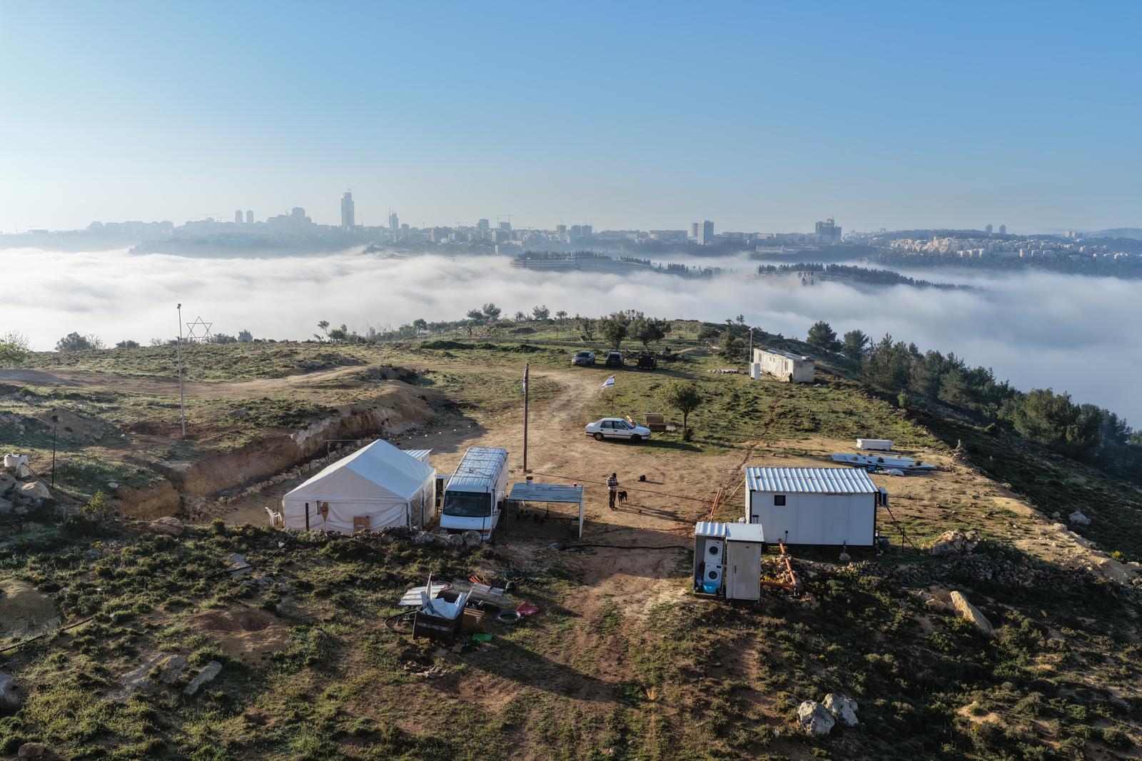
Over the past year, new farms were established, herds expanded, infrastructure built, and security components reinforced. According to the union, more than 23,000 partners from across Israel regularly support the Ranch Fund and help sustain operations.
 2+
2+Behind the effort are ranchers working daily in the field, alongside thousands of youth participating in agricultural work and security. The union emphasizes agriculture’s historical importance in establishing community: “Where the Jewish plow passes—there our border will pass.”
The Ranches Union said in a statement: “The map revealed today tells a story much bigger than dots on a map—it tells of an agricultural and resettlement revolution happening before our eyes. The 270,000 acres preserved through the ranches are proof of agriculture’s power to shape the landscape and protect the land. After a year of tremendous momentum, we’re looking forward—to continued growth, consolidation, and expansion of agriculture across all of the Land of Israel.”