


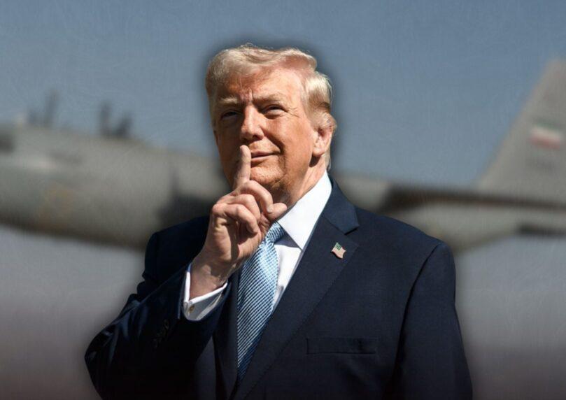

For two decades, satellite imagery has served as the public’s window into inaccessible places—from exposing North Korean oil smuggling to documenting mass graves in Burundi. Since the outbreak of military conflict, that window has closed. Five American satellite providers have restricted access to high-resolution images of Iran and its surroundings, a move directly impacting media organizations’ ability to conduct independent journalism, the New York Times reported Thursday.

 2+
2+“Shutter control” isn’t a new tactic. Back in 2001, during the invasion of Afghanistan, the US purchased all rights to commercial satellite imagery to prevent information leaks. Today, American law allows the administration to order private companies to restrict data access during wartime or crises.
The pressure also flows through economic channels. The US government is these companies’ largest customer, with some deriving up to 59% of their revenue from defense and intelligence sectors. Rihan Price, co-founder of a nonprofit satellite organization, notes that economic pressure today exceeds any past legal pressure—the companies simply can’t afford to lose government contracts.
 2+
2+The security need comes at a bloody cost: since the war began, seven American soldiers have been killed in drone and missile attacks on Gulf bases that reportedly relied on information from Iran obtained via Chinese satellites.
Because of this, restrictions have expanded beyond Iran: images of Edwards Air Force Base in California were blocked after a B-52 bomber crash, similar to restrictions on locations like Djibouti, Cyprus, Crete, and South Sudan. Additionally, Chinese companies have also begun refusing journalists’ requests for sensitive data from war zones.
 2+
2+Companies like Planet Labs were the only ones to update customers about the loss of access and clarified they were acting in coordination with national security officials. In contrast, William B. Adkins, deputy director of the National Reconnaissance Office, acknowledged in March 2026 that the administration provided companies with “guidance regarding sensitive areas.” As of July 1, 2026, access was partially restored, but islands in the Strait of Hormuz, Israel, Jordan, and most Gulf states remain blocked.
Despite the restrictions, journalists have developed workarounds: combining imagery from European and Asian companies, cross-referencing data with flight and ship tracking, and using data from NASA and the European Space Agency. Journalists emphasize that their work involves assessing security risks to combatants and refugees before any publication. The field is at a turning point, with European business consortiums already planning to launch independent satellites by 2028—a move that could undermine the government monopoly on information from space.