


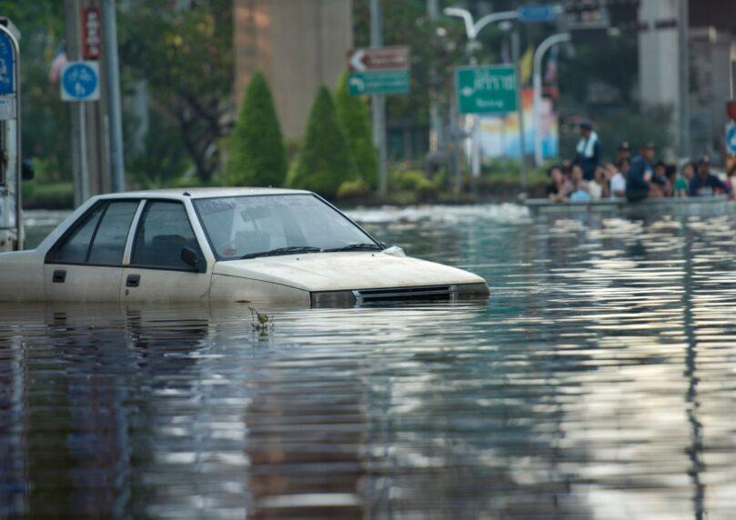

Extreme and dangerous weather is hammering the Midwest and Great Plains states, placing tens of millions of Americans under threat of flash floods and infrastructure destruction. About half a dozen states, including Arkansas, Kansas, Missouri and Oklahoma, have already reported dozens of severe flooding events, with targeted flood warnings activated for some 20 million people from Tennessee to Illinois.
Severe meteorological forecasts released today (Tuesday) warn of a dramatic escalation of weather damage across the United States over the coming days. The National Weather Service and NOAA’s Storm Prediction Center estimate that the threat of storms and monsoon rains will continue at least through Thursday, moving from the center of the country toward the Mississippi, Tennessee and Ohio valleys.
U.S. authorities are defining the current situation as “a real and immediate life-threatening danger,” and are urging residents of major cities to prepare for unprecedented amounts of precipitation that could paralyze public spaces.
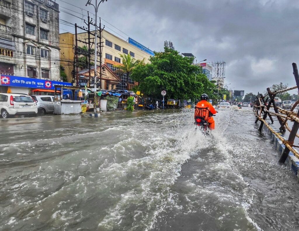
The official U.S. precipitation map presents a worrying picture of widespread flooding, with forecasters predicting that in certain areas rainfall will reach up to 20 centimeters. CBS News meteorologist Nicky Nolan reported that already during Monday, about 24 different reports of localized flash floods were recorded in four states in the center of the continent. The situation is particularly severe in Alabama and Tennessee, where enormous amounts of about 23 centimeters of rain were measured in less than 24 hours.
In Huntsville, Alabama, an official state of emergency was declared following flash floods, after massive water flows swept through the streets and led to the partial submersion of dozens of vehicles. Rescue teams worked throughout recent hours to extract drivers trapped inside their vehicles in the middle of flooded roads.
The current storm is not limited to precipitation alone. The NWS issued a severe warning about serious accompanying phenomena: “The severe storms across the Central Plains could produce giant hail, destructive wind gusts and multiple tornadoes simultaneously, while the heavy rains pose an increased risk of flash flooding along the Mississippi, Tennessee and Ohio valleys.” The threat to major cities in Kansas, including Topeka and Salina, is expected to accompany residents continuously over the coming days.
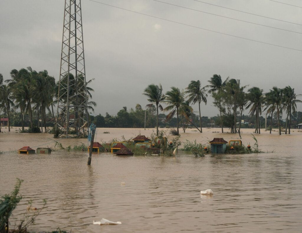
The extreme weather comes as a direct continuation of a violent storm front that hit the northern and southern United States over the past weekend, leaving behind a trail of destruction and casualties. In New York, medical authorities confirmed that an 85-year-old man was killed in Queens after a giant tree suddenly collapsed on him from the force of the winds.
In Brooklyn, where strong winds blew at speeds exceeding 100 km/h, heavy furniture was documented flying and rolling across rooftops of elevated swimming pools. The city Parks Department reported the collapse of more than 250 trees across the city that blocked major thoroughfares.
In Pennsylvania, Pittsburgh resident Tim Broadwater tearfully recounted the moments of terror in front of television cameras, after his private home was literally thrown off the concrete blocks that held it stable: “I was absolutely terrified of death. The wind gusts were so brutal and the house shook with such force that I was certain I was going to end the night in the stream waters flowing below.”
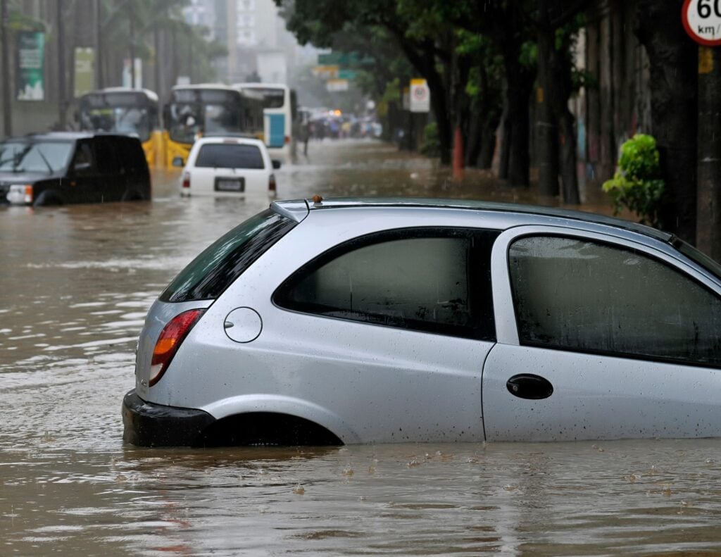
The destruction continued into Louisiana, where in the city of Slidell about 15 centimeters of rain fell in less than 12 hours, and in Texas—where in Milam County the torrential rains caused many cars to slide off the highways, forcing fire departments to perform dozens of complex rescues from the deep waters.
An unusual incident was also recorded in West Virginia, when during a college basketball game between West Virginia University and Cal Poly, the strong wind tore a giant tent from the grass and dragged with it several people who tried to hold onto it and struggled with the winds in the open air.
From a meteorological and operational perspective, U.S. authorities are managing the current weather crisis through careful division of risk levels, to prevent complacency among the 88 million citizens in the storm’s path. Currently, a “flood watch” designation is in effect for about 20 million people.
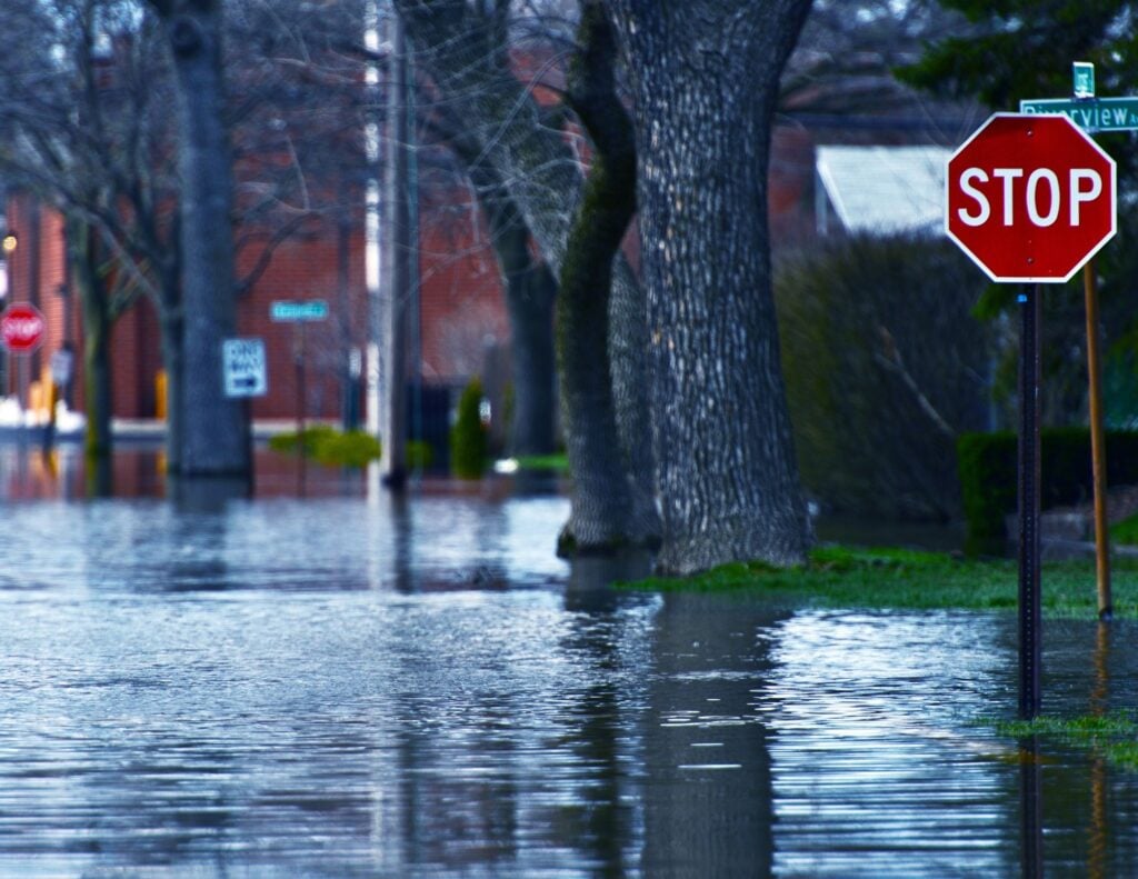
Professionals at the NWS clarify that the watch is activated when atmospheric conditions show that flooding is quite possible but not 100% certain, allowing residents crucial preparation time to protect their homes, store food and evacuate valuable items from basements.
In contrast, the “flash flood” emergency status activated in areas like Alabama and Missouri indicates that the disaster is already occurring in the field, and water is flowing with force that actively endangers lives. The strategic significance of this continuous series of storms is heavy.
Urban drainage infrastructure in the Midwest is not designed to absorb months’ worth of precipitation in just a few hours, leading to the collapse of sewage systems, flooding of interstate highways and severe damage to power grids as a result of falling trees and poles. The cumulative economic damage from the past weekend and coming days is already estimated at billions of dollars, and the National Guard in several states has been placed on heightened alert to provide humanitarian assistance and evacuate populations in case rivers overflow their banks.